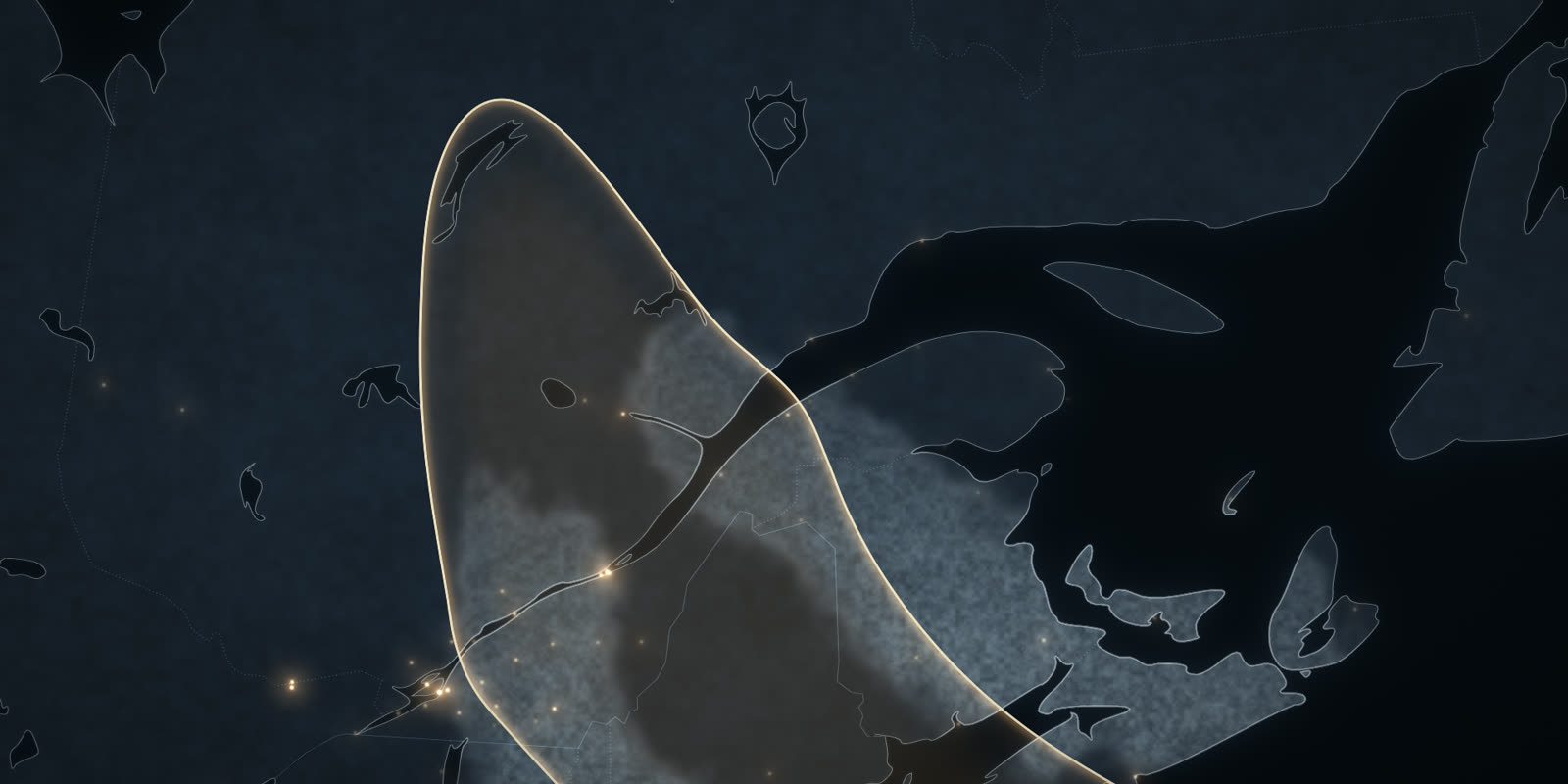
Winter map
Winter 2026-2027, simulated town by town
From December to March, what a very strong El Niño could bring where you live: cold, snow, freezing rain and the days hovering around zero.
Or pick your town
How the map is made
The El Niño signal
The temperature departures the simulation uses come from 13 Environment Canada stations and the strong El Niño winters since 1972. It is all in the study, sources included.
How we work: Our method · Corrections